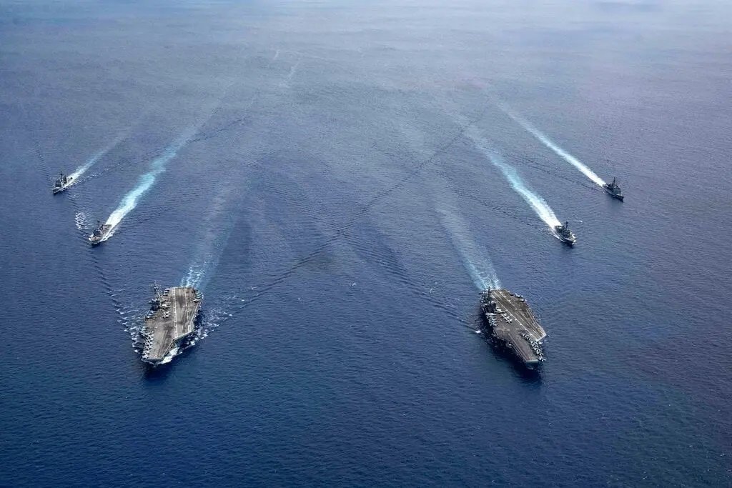
COASTAL SURVEILLANCE
Why do you need Inertial Navigation Systems for Coastal Surveillance?
Inertial Navigation Systems (INS) enhance coastal surveillance by providing consistent positioning and directional awareness in regions prone to GPS-jamming or spoofing. Here's why INS is critical for coastal surveillance operations:
- Dynamic environmental conditions – Coastal areas often have GPS-spoofing risk, signal reflection, or GPS-jamming.
- Distributed sensor platforms – Boats, drones, and sensors all rely on INS for integrated situational awareness.
- Persistent patrol routes – INS allows repeated path tracking along coastlines for extended surveillance.
- Interoperability with ASVs/USVs – Shared INS data enhances fleet coordination across disparate platforms.
- Harsh maritime conditions – INS maintains navigation integrity despite waves, tides, and vessel motion.
- Trigger-based alerts – Accurate geofencing with INS supports prompt notification of intrusions or anomalies.
Inertial Navigation Systems are crucial to coastal surveillance efforts, providing a reliable backup when GPS is unavailable or cannot be trusted. These technologies ensure uninterrupted situational awareness for vessels and platforms operating in cluttered, contested, or GPS-disrupted coastal areas.
Contact Us for more information.