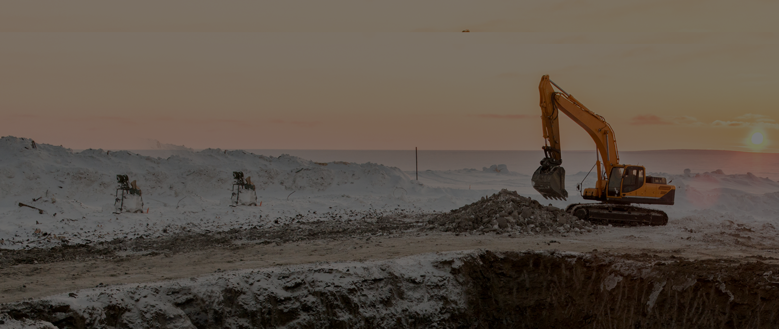
EXCAVATION AND GRADING
Why do you need Inertial Navigation Systems for Excavation and Grading?
Inertial Navigation Systems (INS) can play a role in excavation and grading tasks due to their ability to provide navigation and positioning information even in challenging construction environments. Let's explore some reasons why using a navigation system for excavation and grading can be advantageous;
- Enhanced Equipment Control -By integrating Navigation Systems into equipment like bulldozers and excavators operators gain the ability to have control over the position orientation and movement of the machinery. This ensures excavation and grading aligned with design specifications.
- Real Time Monitoring of Operations - The use of INS enables real-time monitoring of excavation and grading equipment offering information about their location and movement. This data allows for supervision of construction progress ensuring adherence to planned paths and grades.
- Optimal Cut and Fill Operations -Navigation Systems assist in optimizing cut (material removal) and fill (material addition) during excavation by accurately tracking the volume of material involved. This information facilitates management of earthwork quantities.
- Accurate Topographic Mapping -Surveying equipment equipped with Navigation Systems allows for the creation of accurate topographic maps that detail the construction sites features. The data is essential for planning excavation and grading activities determining elevation profiles as evaluating terrain conditions.
These are a few examples highlighting how Inertial Navigation Systems can be beneficial in excavation and grading projects, within the construction industry.
- Monitoring Slope Stability -To ensure long term stability and prevent erosion it is vital to monitor the slope stability of graded surfaces. Inertial Navigation Systems (INS) can be utilized for this purpose offering insights into any changes or potential issues during and after excavation.
- Trenching and Pipeline Construction - When it comes to trenching operations for pipeline construction Inertial Navigation Systems prove invaluable. They assist in guiding excavation equipment along the planned trench path ensuring that the trench meets all required specifications with precision.
- Ensuring Quality Assurance -In maintaining quality assurance during excavation and grading processes INS plays a role by providing data. This information aids in identifying any deviations from design specifications helping to maintain the desired grade and slope
- Optimizing Construction Resources -By tracking the movement and positioning of excavation and grading equipment INS greatly contributes to optimizing construction resources. This includes maximizing fuel efficiency, enhancing equipment utilization and improving project efficiency.
- Navigation in Challenging Environments -In challenging construction environments where GPS signals may be obstructed or unreliable—such as excavations or urban canyons—Inertial Navigation Systems prove their worth. They ensure accurate positioning information is maintained in these conditions.
Inertial Navigation Systems play a role in excavation and grading tasks. They offer navigation and positioning data, which greatly improves the accuracy, effectiveness and safety of construction operations.
Contact Us for more information.