INTRODUCTION – WHAT IS GNSS-DENIED?
WHAT IS GNSS-DENIED?
GNSS-Denied (GPS-Denied) environments are conditions in which satellite-based navigation signals - such as GPS, Galileo, GLONASS, or BeiDou - are unavailable, unreliable, or intentionally disrupted.
In these environments, systems that rely on GPS alone rapidly lose accurate Positioning, Navigation, and Timing (PNT) and this often occurs within seconds. This loss of navigation integrity can compromise autonomy, mission success, and overall safety.
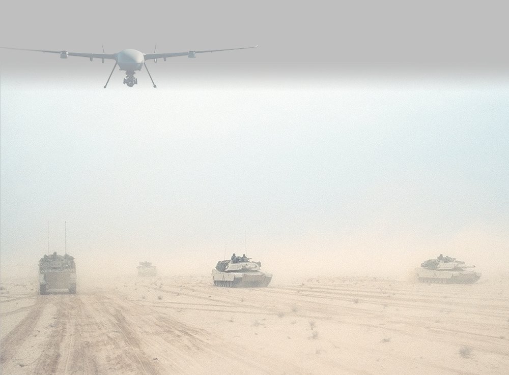
As electronic warfare expands, urban environments grow denser, and autonomous systems move into real-world operations, GNSS-denied operation is no longer an edge case. It has become the baseline design assumption for modern mission-critical autonomous systems.
GPS signals are inherently weak and originate from satellites more than 20,000 kilometers above Earth. By the time these signals reach the surface, they are extremely low power which makes them predictable, exposed, and easy to disrupt - intentionally or unintentionally.
Common causes of GPS denial include:
Electronic warfare and intentional GPS jamming
GPS spoofing and false signal injection
Urban canyons and dense infrastructure
Indoor and underground environments
Tunnels, subterranean, and mining operations
Maritime multipath interference and reflections
High-dynamics aerial maneuvers and signal masking
In many real-world deployments, GPS disruption is not exceptional - it is unfortunately routine.
WHY GPS CAN'T BE TRUSTED
WHAT HAPPENS WHEN GPS IS DENIED?
When GPS is lost, navigation systems that depend on GPS aiding begin to drift almost immediately due to uncorrected inertial sensor errors. In the absence of an independent reference, bias, noise, and scale-factor errors integrate over time, leading to rapidly increasing position, velocity, and attitude errors. This drift can quickly exceed acceptable limits for autonomous operation, safety, and overall mission success.
The consequences include:
Rapidly increasing position error
Degradation of autonomous system performance
Reduced mission effectiveness
Increased safety risks
Traditional MEMS-based Inertial Measurement Units (IMUs) may drift meters within seconds and hundreds of meters over short durations without GPS correction, making them unsuitable for extended GNSS-denied navigation.
HOW ANELLO ENABLES GPS-DENIED NAVIGATION
ANELLO systems operate using high-performance inertial sensing powered by ANELLO’s Silicon Photonics Optical Gyroscopes (SiPhOG™).
By combining optical-grade inertial performance with the scalability of silicon photonics, ANELLO delivers the accuracy and stability of traditional fiber-optic gyroscopes in a compact, manufacturable architecture designed for modern deployment at scale.
Key advantages include:
No reliance on external signals
Ultra-low drift in GNSS-denied environments
Inherent resilience to jamming and spoofing
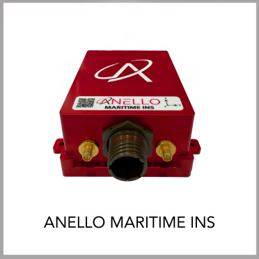
SWaP-optimized for aerial, ground, and maritime platforms
These advantages enable continuous, reliable PNT even when GPS is fully unavailable.
WHY INERTIAL NAVIGATION MATTERS IN GNSS-DENIED ENVIRONMENTS
Inertial Navigation Systems (INS) calculate position by measuring acceleration and rotation over time. Because they are fully self-contained, inertial systems:
Cannot be jammed
Cannot be spoofed
Do not depend on external infrastructure
In GNSS-denied environments, inertial navigation is not a backup - it is the foundation.
ANELLO’s SiPhOG™ technology delivers navigation-grade performance in a compact, manufacturable form factor designed for real-world deployment.
DESIGNED FOR A GPS-DENIED WORLD
If your system fails without GPS, it will fail in real-world operations. GPS-denied resilience is no longer optional - it is a requirement.
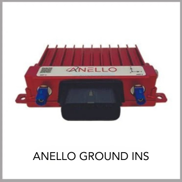
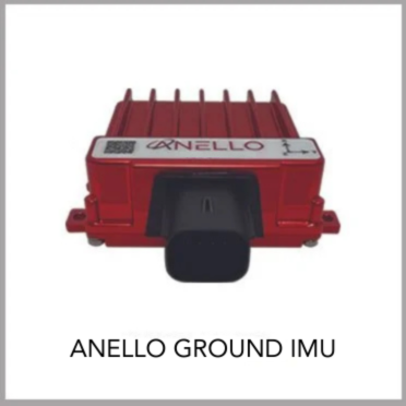
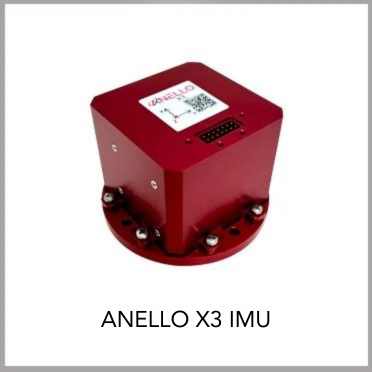
ANELLO SOLUTIONS FOR GNSS-DENIED NAVIGATION

To learn more or schedule a discussion with the ANELLO team, contact us at info@anellophotonics.com