ANELLO AND MARITIME
INERTIAL NAVIGATION SYSTEMS FOR MARITIME APPLICATIONS
ARTICLES

APPLICATIONS
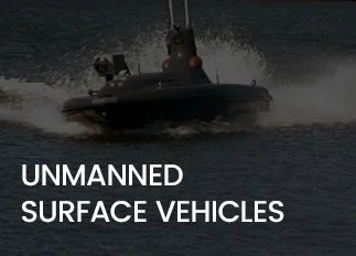
- Unmanned Surface Vehicles (USVs)
- Autonomous Surface Vehicles (ASVs)
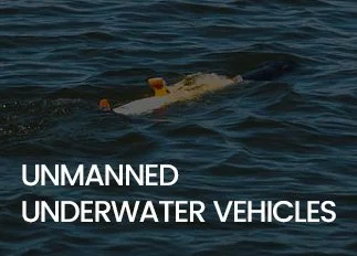
- Unmanned Underwater Vehicles (UUVs)
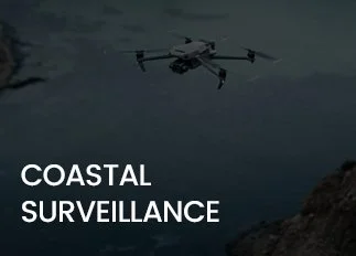
- Coastal Surveillance
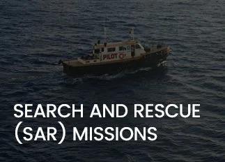
- Search and Rescue missions
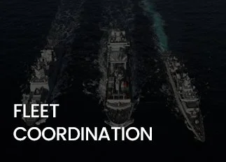
- Fleet Coordination in GPS-denied Zones
FREQUENTLY ASKED QUESTIONS
-
Inertial Navigation Systems (INS) deliver continuous, self-contained positioning and orientation data for surface vessels, submarines, and unmanned maritime platforms. Operating independently of GNSS, INS ensures precise navigation in open ocean, coastal areas, and GPS-denied environments where satellite signals are degraded, jammed, or spoofed—maintaining accurate localization through high-rate inertial sensor fusion.
-
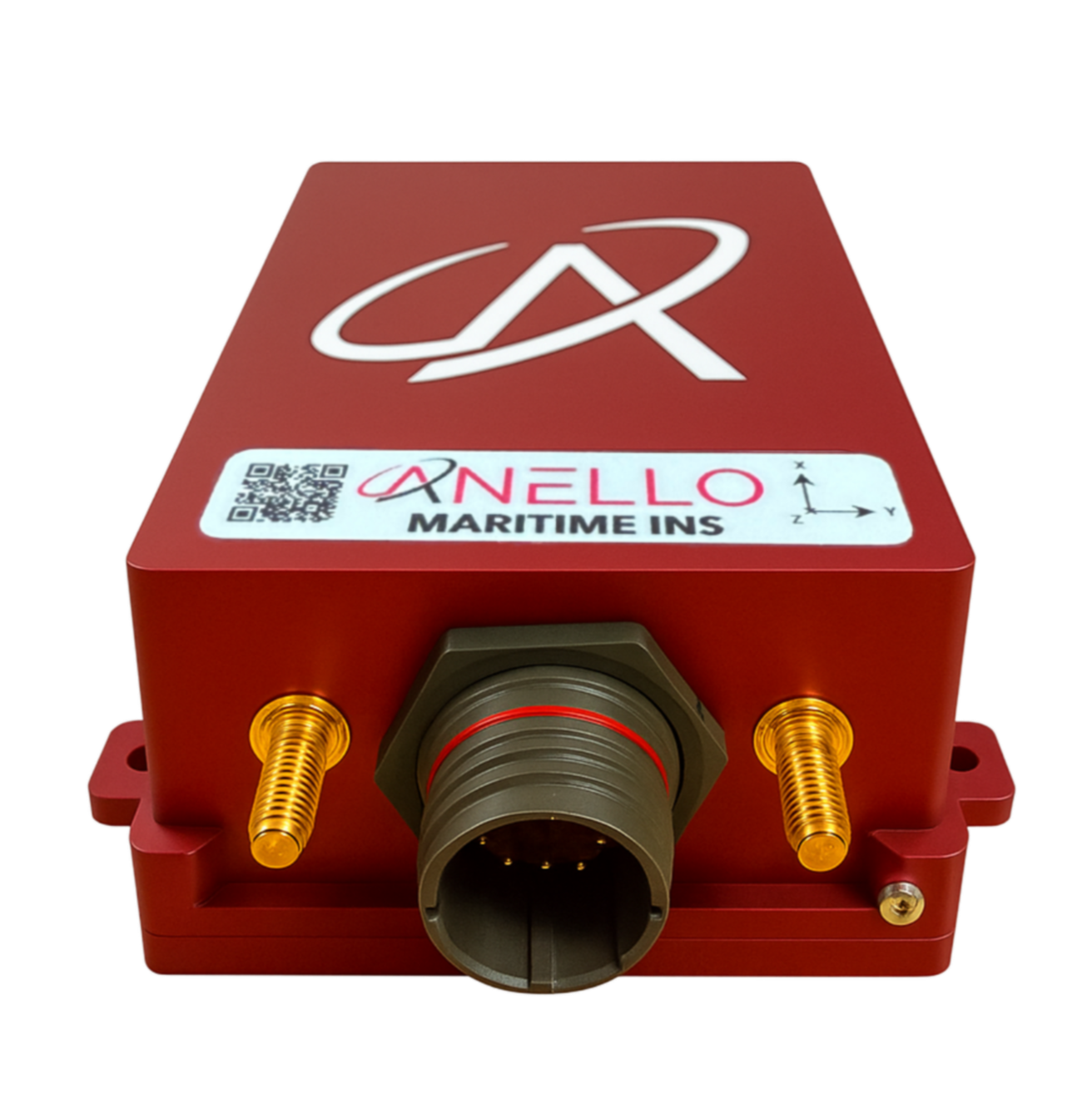
The ANELLO Maritime INS, driven by our proprietary optical gyroscope (SiPhOG™), provides highly accurate dead-reckoning navigation in GPS-denied environments such as submerged operations or signal-jammed areas. Engineered for UAVs, UUVs, ASVs, and coastal defense missions, it maintains precise positioning with an error rate of approximately 1% of distance traveled over a 30-minute GPS outage.
-
Maritime platforms such as Unmanned Surface Vehicles (USVs), Unmanned Underwater Vehicles (UUVs), Autonomous Surface Vessels (ASVs), surface ships and port security assets rely on INS for uninterrupted navigation and situational awareness when GPS is unavailable, jammed or spoofed.
-
Inertial navigation provides continuous route tracking, accurate position updates, and stable control—even in GPS-denied environments. This improves crew safety, minimizes navigation errors, and delivers dependable data for mission-critical maritime operations.
-
Absolutely. The ANELLO Maritime INS is IP68-rated—waterproof and resistant to corrosion, salt spray, and chemicals—delivering reliable high performance in demanding maritime environments for both commercial and defense applications.

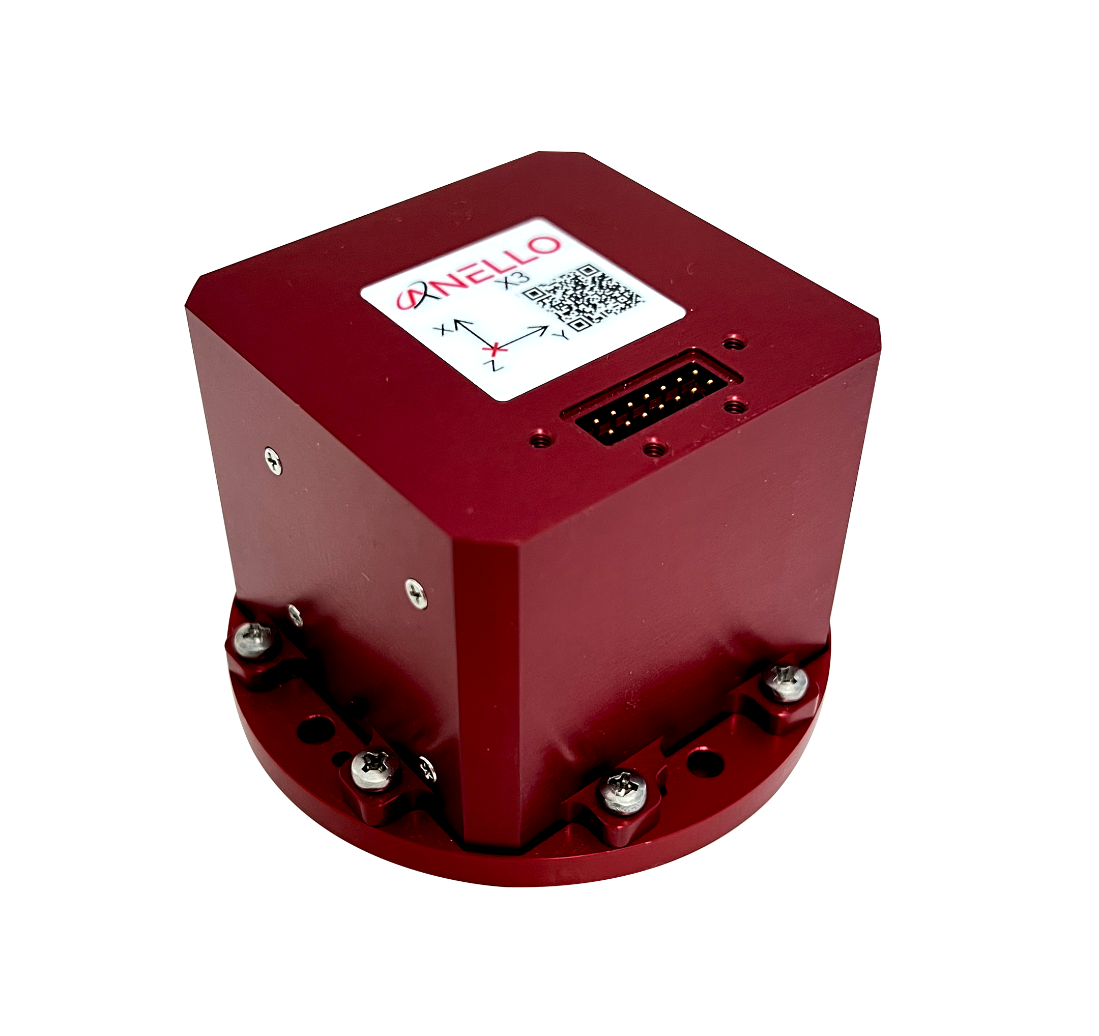
RECOMMENDED ANELLO PRODUCT