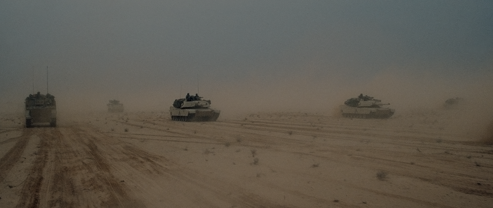
GROUND VEHICLES
Why do you need Inertial Navigation Systems for Ground Vehicles?
Inertial Navigation Systems (INS) are extremely valuable for ground vehicles as they provide navigation and positioning information in operational scenarios. Here's why these systems are crucial for ground vehicles;
- GPS denied Environments - When GPS signals are obstructed, jammed or unavailable in environments like canyons, tunnels or dense forests Inertial Navigation Systems offer a reliable solution for navigation. This is especially important for ground vehicles.
- Autonomous Navigation - For ground vehicles, INS plays a role in the navigation system by allowing the vehicle to operate without continuously relying on external infrastructure or signals.
- Continuous Positioning - Inertial Navigation Systems provide time and continuous information about the vehicle's position, velocity and orientation. This is crucial for maintaining navigation data during movements such as turns, accelerations and decelerations.
- Precision Navigation - By enabling ground vehicles to follow paths with accuracy INS contributes to precision navigation. This level of accuracy is particularly important in applications like agriculture, mining and construction where precise vehicle control's necessary.
- Military Applications - Military ground vehicles frequently operate in dynamic environments where GPS signals may be compromised. In situations INS ensures navigation for military vehicles which ultimately supports mission success and operational effectiveness.
- Tactical Maneuvers - When it comes to ground vehicles involved in maneuvers, Inertial Navigation Systems (INS) are absolutely vital. They enable tracking of the vehicle's position and orientation allowing for coordination and execution of maneuvers, in challenging terrains.
- Drift free Navigation - The main advantage of INS systems is their ability to maintain accuracy over time frames without relying on updates. This is particularly crucial for ground vehicles that often operate for periods without any reference points from the outside.
- Terrain Surveying - By combining Inertial Navigation Systems with sensors, accurate terrain maps can be created and surveying activities can be conducted. This technology proves invaluable in applications like road construction, infrastructure development and environmental monitoring.
- Mining and Construction Equipment - Incorporating navigation systems into mining and construction equipment greatly enhances their positioning capabilities. This assists in optimizing excavation work grading operations and other construction activities.
- Logistics and Fleet Management - Inertial Navigation Systems are instrumental in ensuring logistics and fleet management by tracking the movement and positioning of multiple ground vehicles. This valuable information helps optimize routes, monitor vehicle usage and improve fleet efficiency.
Inertial Navigation Systems play a role in navigating ground vehicles by offering a solution that ensures accuracy across a wide range of applications. These devices prove to be extremely useful, in situations where GPS signals are not dependable or inaccessible guaranteeing accurate navigation, for operations conducted on the ground.
Contact Us for more information.
