

THE ANELLO GROUND INS
PERFORMANCE IN GPS-DENIED ORCHARD
THE ANELLO GNSS INS PERFORMANCE IN GPS-DENIED ORCHARD
BACKGROUND
THE ANELLO GROUND INS SOLUTION
Key features that make the ANELLO GROUND INS ideal for orchard applications include:
- ANELLO Optical Gyroscope Technology
- Unaided heading drift of < 0.5°/hr
- Dual multi-band RTK-capable GNSS engines
- Fault-tolerant with Triple Redundant Sensors
- Ethernet and RS-232 Interfaces
- Accurate positioning for up to 30 minutes in GPS-denied conditions
- IP68 rating for resistance to dust, water, and chemicals
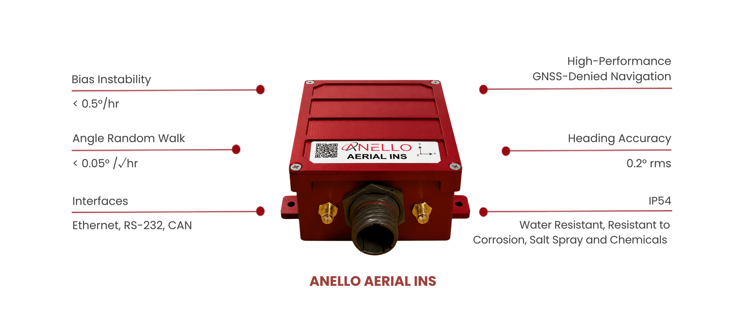
Fig. 1: ANELLO GROUND INS - The ideal companion for navigation in Orchards
SYSTEM ARCHITECTURE & INTEGRATION
TEST METHODOLOGY
Recorded flight data were reprocessed with GPS aiding removed to evaluate the system's dead-reckoning performance. Three evaluations used simulated airspeed derived from GPS groundspeed with added uniform noise; one used airspeed readings obtained from cockpit video.
Because GPS denial was introduced after flight, the results represent post-processed evaluations, not live GPS-denied flight operations. Final position error was reported both in kilometers and as a percentage of distance traveled.
TEST METHODOLOGY
Recorded flight data were reprocessed with GPS aiding removed to evaluate the system's dead-reckoning performance. Three evaluations used simulated airspeed derived from GPS groundspeed with added uniform noise; one used airspeed readings obtained from cockpit video.
Because GPS denial was introduced after flight, the results represent post-processed evaluations, not live GPS-denied flight operations. Final position error was reported both in kilometers and as a percentage of distance traveled.
Integrating ANELLO X3 IMU with commercially available Pixhawk ecosystem
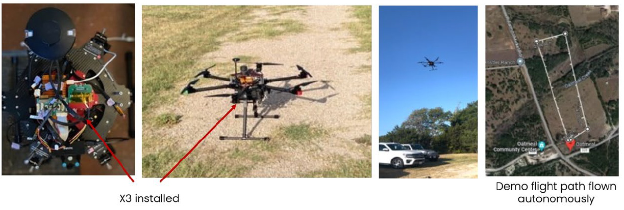
Figure 4: ANELLO X3 IMU integrated with Pixhawk, with flight demo at ANELLO proving grounds
RESULTS
Across the four evaluations, final position error ranged from 0.65% to 1.87% of distance traveled. The lowest reported ratio was 2.98 km error over 460 km (0.65%). A separate 304 km evaluation ended with 2.8 km error (0.92%).
| Flight Evaluation | Distance | Final Position Error | Error / Distance |
|---|---|---|---|
| Evaluation 1 | 297 km | 4.4 km | 1.48% |
| Evaluation 2 | 575 km | 10.7 km | 1.87% |
| Evaluation 3 | 304 km | 2.8 km | 0.92% |
| Evaluation 4 | 460 km | 2.98 km | 0.65% |
GPS-denied performance evaluated through post-processing with airspeed aiding. Results vary by flight configuration.
TEST DRIVE RESULTS IN ORCHARD
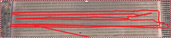
Drive data without ANELLO
Tech in Walnut Orchard, Fresno CA
>> 5 metres
Fig. 2: Test Drive Results - ANELLO GROUND INS in Walnut Orchard in Fresno, CA.

Drive data with ANELLO Tech in
Walnut Orchard, Fresno CA
< 0.5 metres